

“Caminhoneiros são essenciais para a economia nacional”, diz Renan Filho durante inauguração de ponto de descanso em Santa Catarina
Ministro assinou portaria que estabelece uma política nacional de implantação dos PPDs em rodovias federais, além de entregar viaduto da BR-470/SC em Navegantes
Saiba mais sobre “Caminhoneiros são essenciais para a economia nacional”, diz Renan Filho durante inauguração de ponto de descanso em Santa Catarina

Renan Filho anuncia R$15 milhões em obras emergenciais nas rodovias afetadas por chuvas no Maranhão
"Nossa visita ao Maranhão foi de suma importância para resgatarmos a normalidade à malha rodoviária do estado, que tanto sofreu com as fortes chuvas dos últimos dias”, destacou
Saiba mais sobre Renan Filho anuncia R$15 milhões em obras emergenciais nas rodovias afetadas por chuvas no Maranhão
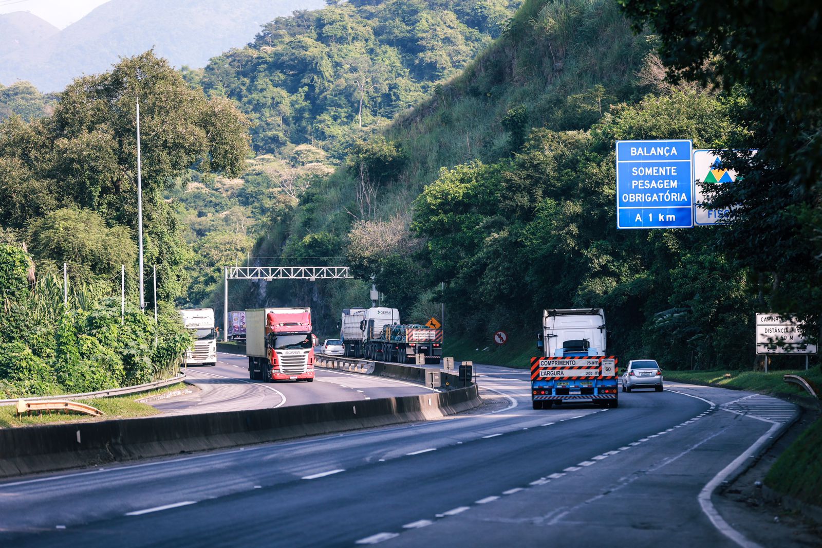
“Investimento significa melhoria da infraestrutura e desenvolvimento do país”, diz Renan Filho, em assinatura de ordem de serviço na Serra das Araras
Obra histórica irá garantir a duplicação de trecho sinuoso da BR-116, entre Rio e São Paulo: R$ 1,5 bilhão para aumentar segurança nos dois sentidos da via
Saiba mais sobre “Investimento significa melhoria da infraestrutura e desenvolvimento do país”, diz Renan Filho, em assinatura de ordem de serviço na Serra das Araras


Destaques


Acesse as Redes Sociais do Ministério dos Transportes
Canais de Atendimento